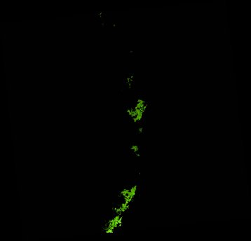
ga_ls_mangrove_cover_cyear_3_x43y36_2012-01-01_final
dataset of product ga_ls_mangrove_cover_cyear_3
Indexed by odc_writer
,
created
Region
x43y36
for
1st January 2012
Fields 🔗
cloud_cover
•
creation_time
2022-04-01 08:31:57
crs_raw
epsg:3577
dataset_maturity
final
format
GeoTIFF
id
79e9c2ac-f3fc-435c-88bc-3a5fc37accf6
instrument
ETM
label
ga_ls_mangrove_cover_cyear_3_x43y36_2012-01-01_final
lat
-18.152 to -17.194
lon
145.544 to 146.542
platform
landsat-7
product_family
mangrove_cover
region_code
x43y36
time
2012-01-01 00:00:00 to 2012-12-31 23:59:59
Related Datasets 🔗
ga_ls_mangrove_cover_cyear_3_x43y36_2012-01-01_final