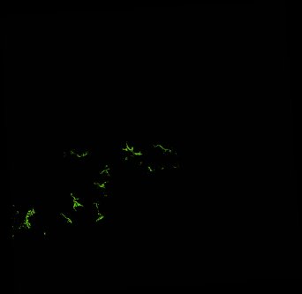
ga_ls_mangrove_cover_cyear_3_x36y38_2000-01-01_final
dataset of product ga_ls_mangrove_cover_cyear_3
Indexed by odc_writer
,
created
Region
x36y38
for
1st January 2000
Fields 🔗
cloud_cover
•
creation_time
2022-04-01 07:32:23
crs_raw
epsg:3577
dataset_maturity
final
format
GeoTIFF
id
b48fa960-16be-4218-ad8d-87838a13f680
instrument
ETM
label
ga_ls_mangrove_cover_cyear_3_x36y38_2000-01-01_final
lat
-16.916 to -15.994
lon
139.142 to 140.089
platform
landsat-7
product_family
mangrove_cover
region_code
x36y38
time
2000-01-01 00:00:00 to 2000-12-31 23:59:59
Related Datasets 🔗
ga_ls_mangrove_cover_cyear_3_x36y38_2000-01-01_final