ga_s2ls_intertidal_cyear_3_x141y105_2017--P1Y_final.stac-item
dataset of product ga_s2ls_intertidal_cyear_3
Indexed by odc_admin
,
created
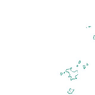
Region
x141y105
for
1st January 2017
Fields 🔗
creation_time
2024-04-02 12:37:14
dataset_maturity
final
eo_gsd
10.0
format
GeoTIFF
id
f6182b2e-019a-4678-97c8-f298351d0a80
instrument
ETM_OLI_TIRS_MSI
intertidal_hat
0.97
intertidal_hot
0.68
intertidal_lat
-0.71
intertidal_lot
-0.39
intertidal_offset_high
16.93
intertidal_offset_low
19.22
intertidal_otr
1.07
intertidal_spread
63.86
intertidal_tr
1.68
intertidal_tr_class
microtidal
label
•
lat
-32.575 to -32.286
lon
133.028 to 133.374
platform
landsat-7,landsat-8,sentinel-2a,sentinel-2b
product_family
intertidal
region_code
x141y105
time
2017-01-01 00:00:00 to 2017-12-31 23:59:59